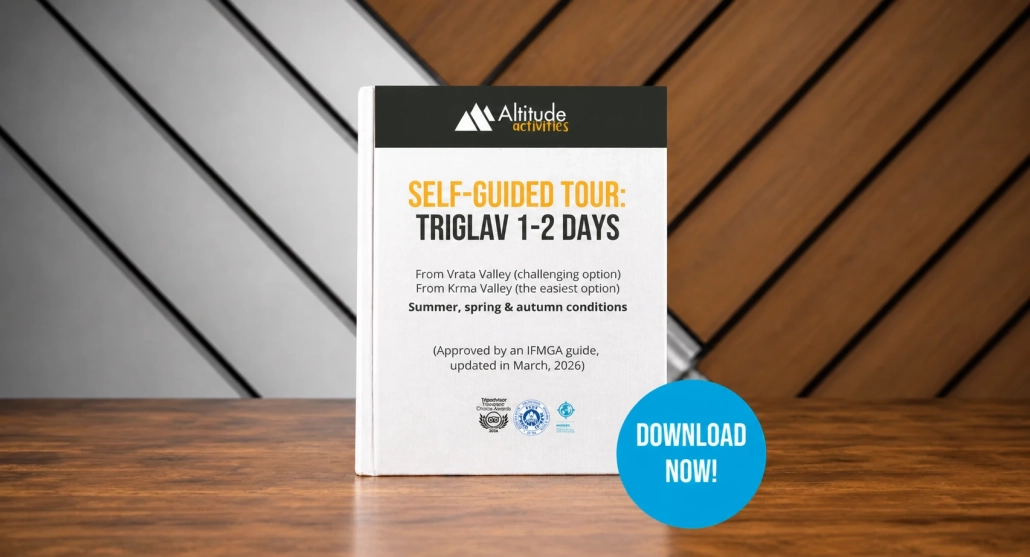
What is this Triglav hiking guide?
This Triglav guidebook is a practical, structured resource designed to help you plan and complete a 1–2 day ascent independently. It is not a blog or a general overview. It is built for real execution on the mountain. It is a strong alternative for hikers who want to experience Triglav independently, without hiring a guide, while still having reliable and structured support for safe decision-making.
Inside, you’ll find a clear and easy-to-follow Triglav route guide covering the two most popular and logical approaches to the summit: the easiest and shortest route from Krma Valley and the more challenging one from Vrata Valley. Each route is explained step by step, with detailed descriptions, timing, elevation, and key decision points, so you always understand where you are and what comes next.
To make navigation easier, the guide also includes GPX files for both routes, allowing you to follow the path directly on your device. This is especially useful in alpine terrain, where visibility can change quickly and trails may not always be obvious.
Navigate easily using the Outdooractive app or download GPX files directly to use on your preferred device.
Clear, step-by-step guidance for both the Krma Valley (Gentle Route) and Vrata Valley (Challenging Route).
A complete, structured overview covering routes, safety, logistics, and key decision points.
Learn how to prepare properly, what to pack, and how to approach the hike with confidence.
Who is this Triglav hiking guide for?
This guide is designed for hikers who want to plan and complete the ascent of Triglav independently, with clear structure and reliable information.
It is a good fit if you:
- ✔️prefer a self-guided hiking experience rather than joining a guided tour
- ✔️have good physical fitness and are comfortable with long days in the mountains
- ✔️feel confident navigating marked trails, with additional support from GPX
- ✔️want to reduce uncertainty and avoid relying on scattered online information
This guide is especially useful for those who:
- ✔️ are deciding between a 1-day and a 2-day ascent
- ✔️ want to understand the difference between the Krma Valley and Vrata Valley routes
It may not be the best choice if you:
- have little or no mountain experience
- are uncomfortable with exposure or via ferrata sections
- prefer full guidance and on-the-ground support
In that case, a guided option may be more suitable.

What’s included in this Triglav guidebook
This Triglav guidebook is designed as a complete and practical resource for a successful 1–2 day ascent. It combines a structured Triglav route guide, safety knowledge, and real-world logistics into one clear plan with GPX files included for easier navigation on the mountain.
Inside this guide, you will find:
Detailed Triglav route guide (Krma & Vrata Valley) + GPX files
Two complete route options explained step by step, supported by downloadable GPX tracks for both routes, allowing you to navigate confidently, even offline.
Step-by-step route descriptions
Each section of the hike is broken down clearly, including terrain changes, key turns, and important decision points along the way.
Time, elevation, and distance breakdown
Accurate data for every stage of the ascent, helping you plan your pace and manage your energy efficiently.
Navigation and orientation system explained
How to follow Knafelc trail markings, read signposts, avoid common mistakes in karst terrain, and stay on route even in reduced visibility.
Thunderstorm awareness and response
Clear explanation of how to recognise early storm signs, how weather develops in the Julian Alps, and what to do before and during a thunderstorm.
Safety guidelines and emergency procedures
Practical instructions for risky situations, including what to do if you get lost, how to react in changing conditions, and how to contact emergency services.
Backpack packing guide and essential checklist
A complete packing system, including clothing layers, mandatory equipment, recommended food and water, and a checklist to ensure you don’t forget anything important.
Mountain huts and logistics information
Locations of huts on both routes, when to use them, food availability, water sources, and how to plan an overnight stay.
Transport and access planning
How to reach Krma and Vrata Valley, parking tips, public transport options, and private transfer alternatives.
Fitness and terrain difficulty explained
Clear breakdown of fitness levels and terrain types, helping you understand whether this hike matches your experience.
This Triglav route guide goes beyond general information — it gives you a structured system for planning, navigating, and making safer decisions on the mountain, with GPX support and practical tools that you can rely on during the hike.
Routes included in this Triglav route guide
This Triglav route guide covers the two most popular and reliable routes to the summit, each offering a different type of experience. Both routes are fully explained and supported with GPX tracks, helping you choose the option that best matches your fitness, confidence, and expectations.
From Krma Valley
This is the most common and straightforward approach to Triglav, often used for guided ascents.
- ⇒ Gradual start through the forest and alpine pastures
- ⇒ Steady climb towards Kredarica hut
- ⇒ Less technical until the final summit section
- ⇒ Suitable for strong hikers planning a 1–2 day ascent
This route is ideal if you are looking for a more logical and physically manageable way to reach the summit, with a clear progression in terrain.
From Vrata Valley
This route is more direct but significantly more technical and exposed.
- ⇒ Steep ascent from the beginning
- ⇒ Includes via ferrata sections (Tominškova pot or Čez Prag)
- ⇒ More exposure and technical terrain throughout
- ⇒ Suitable for experienced hikers comfortable with height and climbing
This option is best for those who prefer a more alpine experience and are confident using via ferrata equipment.
Summit Section – From Kredarica to Triglav
Both routes join at Kredarica hut, from where the final ascent begins.
- ⇒ Fully exposed ridge and via ferrata terrain
- ⇒ Steel cables and protected sections throughout
- ⇒ Requires focus, stability, and proper equipment
This is the most demanding and exposed part of the climb, and it is clearly explained in this Triglav route guide so you know exactly what to expect. By covering both routes in detail, this guide allows you to compare options, understand the terrain, and choose the most suitable path for your ascent.
Triglav hiking guide PDF with GPX and route map: How it works?
This Triglav hiking guide PDF also includes digital navigation support to make route finding easier on the mountain. Once your purchase is completed on this page, you will receive an email immediately. In that email, you will find:
- ⇒ a link to download the PDF guidebook
- ⇒ a link to the Outdooractive trail for the Krma Valley route
- ⇒ a link to the Outdooractive trail for the Vrata Valley route
- ⇒ a link to download the GPX file for the Krma Valley route
- ⇒ a link to download the GPX file for the Vrata Valley route
This gives you two different ways to use the navigation.
Option 1: Use Outdooractive
The easiest option is to open the route directly in the Outdooractive app, which is one of the best navigation apps for hiking in the Slovenian Alps. With the guidebook, you will also receive a free 7-day Outdooractive subscription, so you can use the navigation features during your hike. There is no automatic renewal, so you do not need to worry about being charged afterwards.
Option 2: Use your own app or device
If you already use another navigation app or GPS device, you can simply download the GPX files from the email and upload them to the platform you prefer.
If you have any problems opening the route, downloading the GPX files, or setting up the navigation, you can call us and we will gladly help you.
Prefer a guided or organised option?
Not everyone wants to plan and complete this hike independently. If you would rather have additional support, more structure, or simply a more relaxed experience, you can also choose from the following options:
Guided Triglav Tours
Hike with a certified local guide who takes care of route finding, safety, and decision-making along the way.
Fully organised self-guided packages
We arrange key logistics for you, such as transport, equipment, and overall planning, while you still hike independently.
If you are unsure which option suits you best, feel free to contact us — we are happy to help you choose the right approach based on your experience and expectations.
Get your Triglav hiking guide
With detailed route descriptions, GPX navigation support, safety insights, and practical planning tools, you’ll have everything you need to approach the hike with more clarity and less uncertainty. Download the guidebook now and start planning your Triglav ascent today.